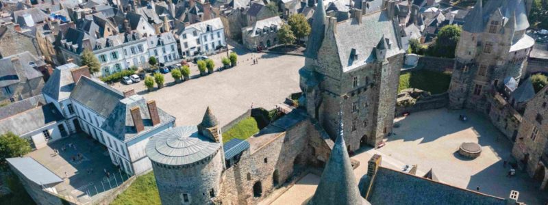
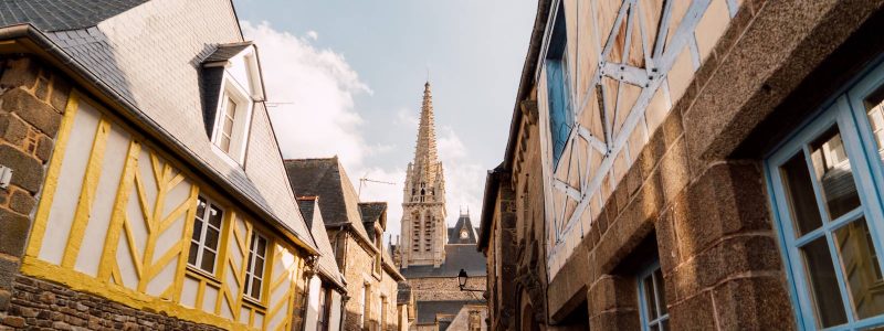


This walk will make you discover Vitré between heritage and nature. The city of Vitré, labeled Vitré d'Art et d'Histoire, has a rich historical heritage, the main gems of which you can approach during this walk. Nature is also present at the gates of the City. The Vilaine river has shaped a bucolic landscape at the foot of the city and this circuit allows you to very pleasantly discover its various facets.
4.6 km signposted clockwise.
Several variants of 1 to 3 km and possibility of continuing the path to the east along the Vilaine and along the GR®34.
Find this route in the Topo-guide - Ille-et-Vilaine on foot (2020 edition). On sale in bookstores, in tourist offices in Brittany and on the official site of the FFRandonnée Bretagne - topoguides section
Your itinerary
Vitreous
4.6 km signposted clockwise.
Several variants of 1 to 3 km and possibility of continuing the path to the east along the Vilaine and along the GR®34.
Find this route in the Topo-guide - Ille-et-Vilaine on foot (2020 edition). On sale in bookstores, in tourist offices in Brittany and on the official site of the FFRandonnée Bretagne - topoguides section