Distance: 14.5 km
Average duration) : 01h
Level: Medium
Saint-M'Hervé
PR®
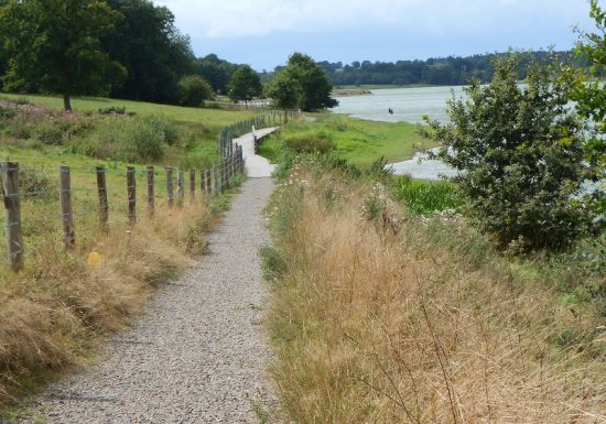
Follow the yellow PR markings clockwise. A 90 m footbridge crosses the body of water and makes it possible to make 2 loops of 7.2 km to the West and to the East. And the local marking circuit n°72
Car park, picnic area, water point, toilets and playgrounds near the start/finish.

Walking

The Haute-Vilaine lake will take you to the borders of Ille-et-Vilaine and Mayenne.

14,5 km of paths, marked clockwise with a
90 m footbridge which crosses the body of water and makes it possible to make 2 loops of
7,2 km to the West and to the East.

Educational trails along the banks allow you to discover varied landscapes and observe both remarkable trees and many birds that love this hospitable environment.
Your itinerary

Saint-M'Hervé

The Haute-Vilaine lake will take you to the borders of Ille-et-Vilaine and Mayenne.

14,5 km of paths, marked clockwise with a
90 m footbridge which crosses the body of water and makes it possible to make 2 loops of
7,2 km to the West and to the East.

Educational trails along the banks allow you to discover varied landscapes and observe both remarkable trees and many birds that love this hospitable environment.
1

Step 1

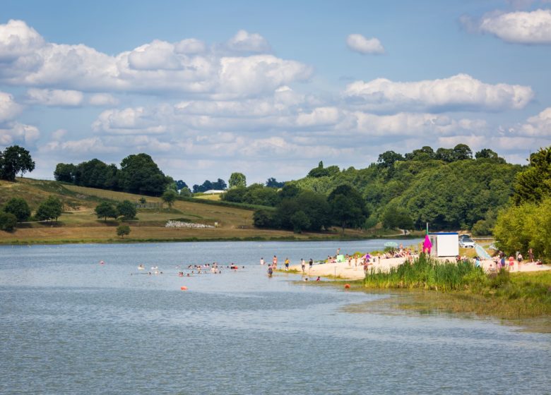
Located 8 km from Vitré, the Haute-Vilaine leisure center welcomes the public all year round for sports and leisure activities. On site: catamaran rental and lessons, canoeing, windsurfing and stand up paddle boarding, pétanque court, fitness area, multi-sports ground, mountain biking initiation course, mountain biking technical course, archery initiation , playground for children, picnic areas, barbecue, equipped beach and hiking trails.
2

Step 2

View of the Houssaie on the dam
3

Step 3

The Clearing
4

Step 4

The Vilaine river has its source a few kilometers to the east, at Juvigné in Mayenne. The Haute-Vilaine dam, built in 1982, spans 3 municipalities: Chapelle-Erbrée (35), Saint M'Hervé (35) and Bourgon (53). With a capacity of 7,2 million m3, this body of water covers an area of ​​131 ha. It mainly performs the functions of low-water support and flood limitation. It supplies the raw water pumping station of Pont Billon located on the Vilaine upstream of the town of Vitré. This station supplies the La Grange drinking water production plant in Vitré.
5

Step 5

105 meters long, 2,5 meters wide, 18 tonnes: these are the dimensions of the footbridge which overhangs the Haute-Vilaine lake since February 2016. This footbridge is part of the restructuring project of the leisure center de Haute-Vilaine, a project led by Vitré Communauté.