


Distance: 11.3 km
Average duration) : 02h
Level: Easy-to-use
Year
Yellow PR markings and green arrow n°66, marked clockwise
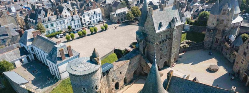
Parking, picnic area, water point, and toilets at the point of departure and arrival. Geocaching trail "The Palms of the Martyr"


Circuit of 11,3 km including 3,6 km of road. Departure possible from Moussé (Park of the Ardennes car park) - 13km.
Reference to the Roman road linking Rennes to Angers clearly visible on cadastral maps, sometimes serving as a municipal boundary; it fords the Ardenne stream.
Your itinerary
Year
Circuit of 11,3 km including 3,6 km of road. Departure possible from Moussé (Park of the Ardennes car park) - 13km.
Reference to the Roman road linking Rennes to Angers clearly visible on cadastral maps, sometimes serving as a municipal boundary; it fords the Ardenne stream.
Reference to the Roman road linking Rennes to Angers clearly visible on cadastral maps, sometimes serving as a municipal boundary; it fords the Ardenne stream.
1
Step 1
Former railway line linking Châteaubriant (Loire-Atlantique) to Vitré. The rails and the ballast have disappeared to give way to a dirt road about 700 m long.
2
Step 2
The La Grande Bécannière loop can be avoided by continuing straight ahead. This reduces the route by 4,5 km including 2 km of bitumen.
3
Step 3
A final stop, just before the pond, is the restored Verger washhouse (1864), a fine illustration of local craftsmanship.