

Distance: 16.3 km
Average duration) : 02h
Level: Medium
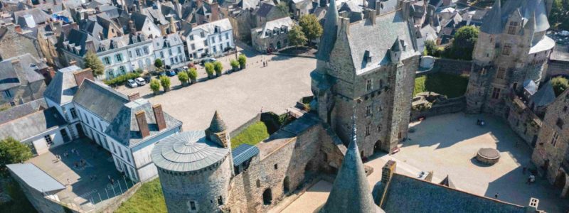
Saint-M'Hervé
Follow the Yellow PR® markings and green arrow n°43. Over 16,13 km there is 4 km of marked route in an anti-clockwise direction. Red and White markup of the GR® 34
The circuit is extendable on the left bank of the lake

This circuit runs along the banks of the Vilaine for more than 10 km, passing through Bourgon, on the borders of Mayenne and Ille-et-Vilaine. Its name "Le champ dolent" refers to a television series produced by Hervé Baslé in 2002. Indeed, the meadow overlooking the Vilaine au Bois-Frétier served as a filming location for a fresco evoking the evolution of rural life in a century. The narrator has chosen this "field of pain" to entrust a menhir with the story of his family, in the course of an inevitable social and technological revolution. The menhir, in synthetic resin has since been erected at the entrance of the town, in memory of the film.
Your itinerary
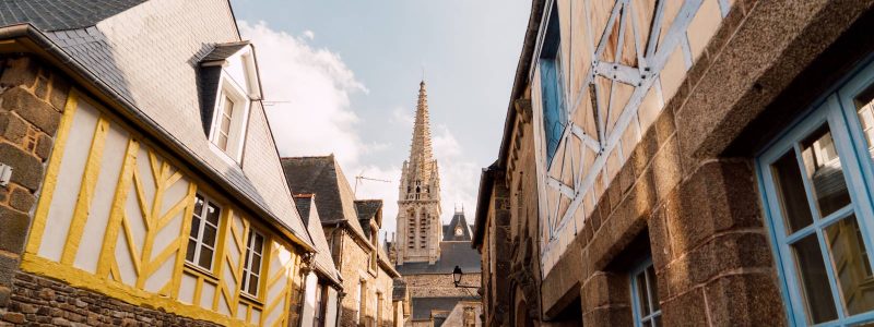
Saint-M'Hervé
This circuit runs along the banks of the Vilaine for more than 10 km, passing through Bourgon, on the borders of Mayenne and Ille-et-Vilaine. Its name "Le champ dolent" refers to a television series produced by Hervé Baslé in 2002. Indeed, the meadow overlooking the Vilaine au Bois-Frétier served as a filming location for a fresco evoking the evolution of rural life in a century. The narrator has chosen this "field of pain" to entrust a menhir with the story of his family, in the course of an inevitable social and technological revolution. The menhir, in synthetic resin has since been erected at the entrance of the town, in memory of the film.
1
Step 1
The Mousetrap
2
Step 2
Troton bridge in Bourgon
3
Step 3
The Haute Vilaine leisure center, managed by Vitré Communauté, offers multiple land activities (mountain biking, outdoor fitness ...) and nautical (stand up paddle, kayak, dinghy ...). Also popular are: its picnic areas and its equipped beach.
4
Step 4
The Haute Vilaine dam is one of the three dams in the Haute-Vilaine watershed with the Cantache and the Valière. Together, these structures make it possible to regulate the waters of a catchment area of around 310 km², while ensuring an important drinking water resource for the eastern sector of the department, ie around 130 inhabitants.
5
Step 5
Watered by the Vilaine and some of its tributaries, the town of Bourgon has altitudes of 173 m in La Brécinière and 151 m in the Bois de la Rousineraie. Its village, very out of the way, is located on a promontory which dominates the Vilaine and faces the first rocks of the neighboring province, Brittany.