

Distance: 12.8 km
Average duration) : 02h
Level: Difficult
Mountaround
PR®
Follow the yellow PR® markings and green arrow n°40, marked clockwise.
A variant is accessible via the GR® 37. Parking near the start/finish.


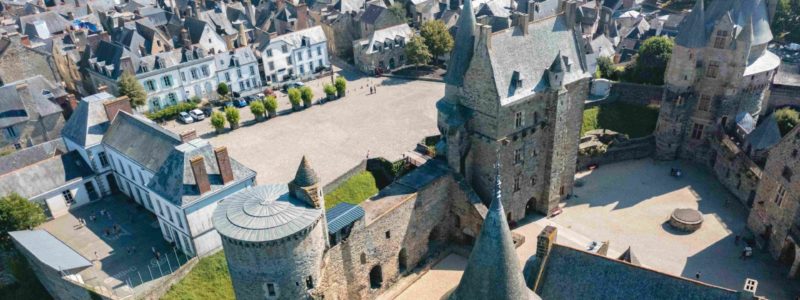
A circuit of 12,8 km including 7,5 km of road. This route is hilly and allows you to discover one of the highest inhabited places in Ille-et-Vilaine.
A variant is accessible via the GR® 37.
Your itinerary
Mountaround
A circuit of 12,8 km including 7,5 km of road. This route is hilly and allows you to discover one of the highest inhabited places in Ille-et-Vilaine.
A variant is accessible via the GR® 37.
A variant is accessible via the GR® 37.
1
Step 1
From the bell tower of the Notre-Dame du Roc church (2002th century, rebuilt in the 32th century and restored in 2), we discover an immense panorama and we can see XNUMX bell towers (and even Mont Saint Michel on a clear day). By privilege, three visits to the church of Montautour could replace a pilgrimage to Rome. The pilgrimage of forgiveness of Notre-Dame du Roc takes place every XNUMXnd Sunday of July.
2
Step 2
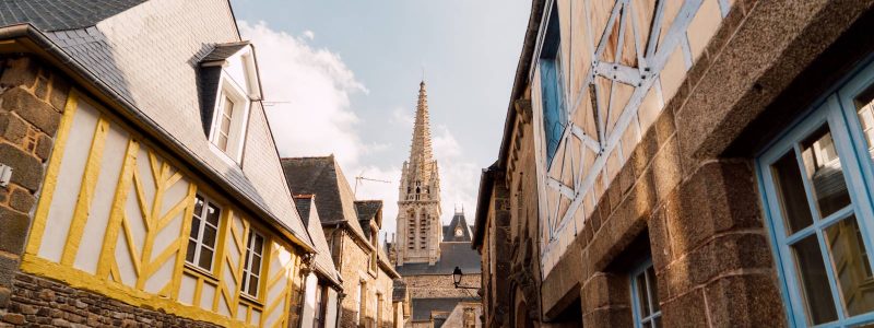
Montautour is a picturesque and mysterious town.
3
Step 3
The Montautour mound is the highest point in Ille-et-Vilaine, culminating at an altitude of 190m.
4
Step 4
Variant of circuit no. 40 which partly follows the route of GR® 37